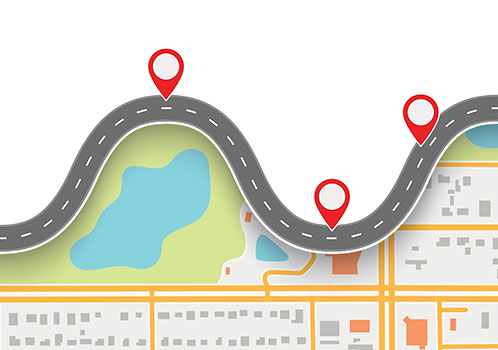
Navigating change is always hard, but for the autonomous cars of the future, the idea isn’t existential—it’s essential.
The driverless autos will be the chauffeurs of society, but before they can begin carting passengers from Point A to Point B, they’ll have to know how to get there themselves.
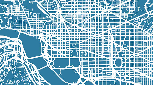
Many industries have risen to prominence in the wake of autonomous car development, but perhaps none more precipitously than the mapping business. (The demand for cartographers alone is expected to surge 19% by 2026.)
The charts bridge the physical places we occupy with the digital frontier; but unlike the unlimited virtual space available to most emerging tech, autonomous mapping programs are bound by the real world, which brings with it real consequences.
Fidelity to natural contours will make the difference between the new-age autos getting someplace on time—or at all. The maps also offer precious redundancy to the plans: a way for the cars to understand what’s around them when their simulated sense of sight is otherwise blinded by outside circumstances.
Still, before they can help drive the technology forward, the schematics will have to be charted—an undertaking perhaps as complex as the creation of the cars themselves.
Map Maker, Map Maker, Make Me a Map!

Like most other developments of the tech age, the cartography process is highly proprietary, with few details of how the maps are made being released to the public.
The new-age charts used by autonomous vehicles are a bit more complex than those found in your standard atlas, according to officials at Waymo, the Google self-driving car subsidiary—which is far ahead of the game thanks to the search engine behemoth’s 10-year-old Google Maps initiative.
Maps meant to provide driving directions to autonomous cars need to incorporate several extra dimensions, including everything from the height of a curb to the width of an intersection, within 10 centimeters of accuracy.
Those measurements are taken by the autonomous autos themselves, with the cars utilizing laser technology to send out beams of light and record how long it takes the waves to bounce back. The information is then sent to a team of humans, who use their intimate knowledge of the real world to clarify the data and identify structures like driveways and fire hydrants.
And that’s just creating a first draft.
Each time an autonomous cartographer makes a subsequent visit somewhere, it searches for changes in the landscape, sending reports on any discrepancies to the man-powered team, which then analyzes and updates the master map used by the entire autonomous fleet.
But keeping track of the ever-changing world is a tremendous task.
Google competitor Nokia—one of the few other companies making a deep play to own the concept of “where”—utilizes 80,000 data feeds to draw its boundaries of the world, with global map updates taking place upwards of 2.4 million times per day. (Still, for their massive effort, the company earns a tidy profit, netting a cool $1.4 billion for the information in 2011 alone, through sales to search engines and other navigation-centric companies.)
Clearly, there’s no shortage of information—or information gathering—involved in the business, but there are some map-making issues even the most voluminous database doesn’t include the answer to.
Drawing Boundaries
The changing nature of the world is the biggest foil for possessing an accurate map, but the actual process of transformation is an especially difficult subject to navigate.
Construction sites are notoriously tricky for autonomous cars thanks to their largely lawless—and exceptionally fluid—environment, where roadway norms are often upended and a waving hand or a haphazard cone can hold authority just as easily as well-established road markers.
Some companies are developing comprehensive live maps, which track everything from merging traffic lanes to on-the-ground pedestrian analytics.
To make sense of such situations, some companies are developing comprehensive live maps, which track everything from merging traffic lanes to on-the-ground pedestrian analytics. Yet, at least for now, each business is working within the limits of its own programming, leaving autonomous cars susceptible to reactions as varying as the construction zones themselves.
And taking those technologies to truly foreign environments presents its own set of complications.
Many international destinations are subject to strict laws about the collection of geographical information, including China, which represents not just the world’s largest auto market but one of its most difficult countries to map out, thanks to a number of measures meant to keep sensitive government locations away from outside eyes.
Such fears of global espionage—and the precaution built up around them—also beg the question of who will ultimately own the nearly boundless reams of data.
One Map to Rule Them All?
The high-stakes proposition has unleashed a veritable map war across the globe, with nearly every company in the data collection sphere throwing considerable weight into the effort. (The lucrative opportunity has turned map-making into a favorite of the start-up world, with the smaller operations able to devote themselves entirely to the absorptive subject matter—and larger businesses lining up to pay for their services.)
And there’s seemingly as many different strategies for collecting and codifying the geographic information as there are companies vying for it.
When it comes to how autonomous cars should use the material, however, there seems to be two major schools of thought: that the vehicles should have access to as complete a map as possible at any given time; or that they should narrow their focus to simply process their current surroundings.
Subscribers of the latter theory say it would help streamline precious computing power and allow the cars to focus on more pressing matters, like looking out for pedestrians.
Yet no matter which method proves victorious, all seem to agree the entire game is rigged to a positive feedback loop, with those able to test more autonomous vehicles able to get more—and increasingly more accurate—data.
It’s been described as a “winner take all” proposition, but the ultimate champions may actually be the cars.
Many in the autonomous field believe the artificial intelligence used to pilot the autos will soon be smart enough to truly see for itself, thanks to advances in deep learning technology, which could let the cars dictate their own routes. The liberation from mapping systems could solve the basest problem facing the new-age cartography industry: that the charts become obsolete the very second they’re produced.
Ultimately, such technological evolution may be the only way to truly keep pace with the whims of the world. Change is the only true constant, after all.